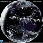
This animation of NOAA’s GOES-East satellite data shows the development and movement of the weather system that spawned tornadoes affecting the southern and eastern U.S. states on April 27-29, 2014. Image Credit: NASA/NOAA GOES Project
This animation of NOAA’s GOES-East satellite data shows the development and movement of the weather system that spawned tornadoes affecting the southern and eastern U.S. states on April 27-29, 2014. Image Credit: NASA/NOAA GOES Project


KnowledgeOrb Powered by WordPress
Max Magazine Theme was created by ![]()